6.1 previous
next contents
maps lsw home
Orchard Prairie Puts The Little Spokane On The Nature
Map
Orchard Prairie elementary schoolís nature mapping students made history
with the first nature mapping expeditions made in the Little Spokane Watershed.
Most if not all of the research locations have not been researched by anyone
in as much detail as what the Orchard Prairie students did this past school
year. With the assistance of the teachers, naturalists, birders and other
people that enjoy nature the students explored the sixteen sites in the
twelve nature mapping expeditions.
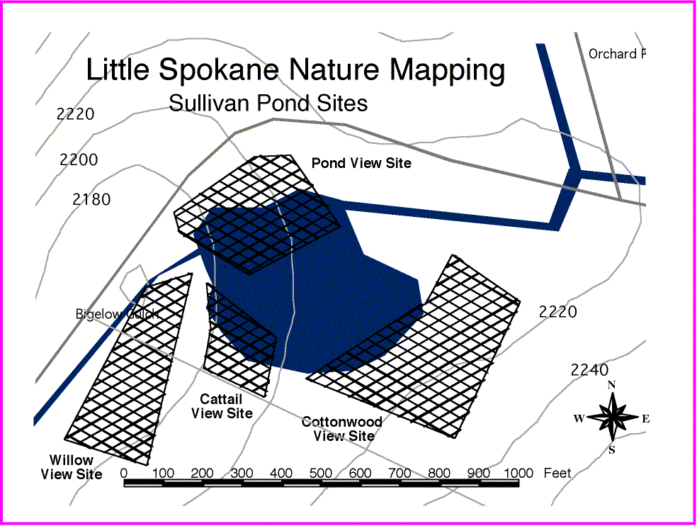
Nature Mapping Expeditions
These expeditions explored four sites: Orchard Prairie Wildlife Refuge,
Sullivan Pond, Indian Painted Rocks and a private nature sanctuary. At
each location four specific sites were selected for nature mapping. The
students divided in to four groups with each group going to a different
site along with a teacher or nature guide. At each site the students recorded
in their nature mapping journals all the species they saw. After ten minutes
or so each group rotated to another site. This gave all the students an
opportunity to observe how species may differ depending on the habitat.
Nature Mapping Journals
The species journal records have been entered into the computer and nature
maps can now be displayed for the locations and each site. In the next
school year these maps can be used for classroom projects and planning
for new nature mapping explorations.
Nature Maps
Maps of the Orchard Prairie Wildlife Refuge can be used to study
the topography of the refuge and to plan where to plant native plants for
the on going native plant restoration project.
Copyright 1997 Little Spokane
Watershed Council
Revised 10/3/97
6.1
previous next
contents maps
lsw home